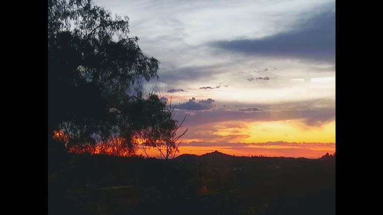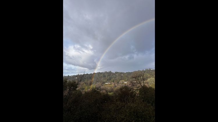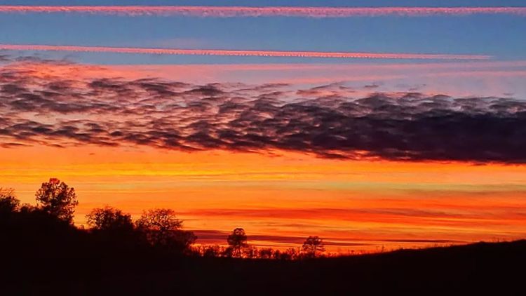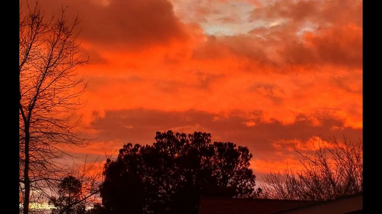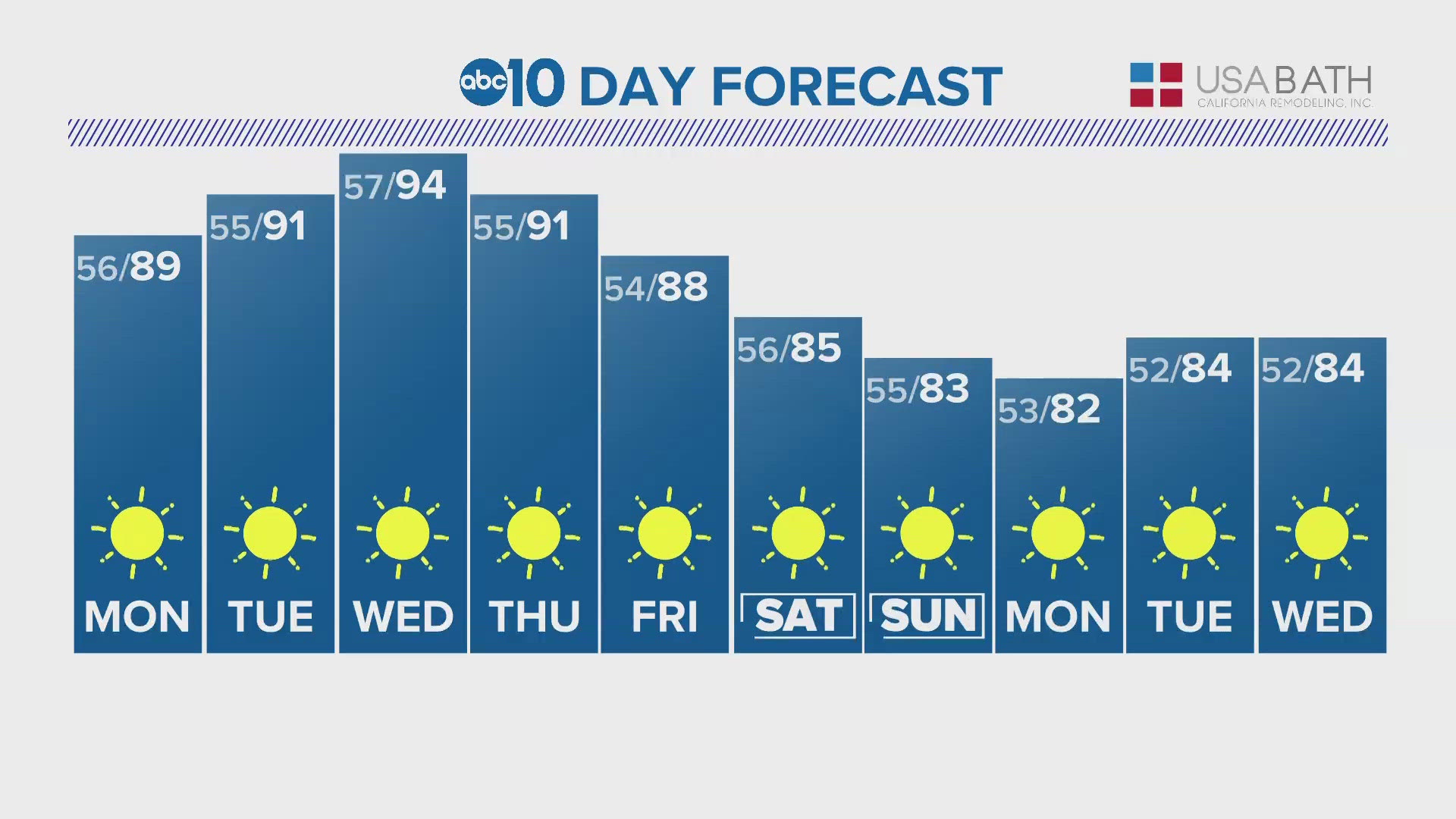
SACRAMENTO, Calif — What a difference in just a week. Last weekend we hit highs in the 50s on Saturday with rain. This weekend, highs topped out in the 90s!
We typically don't see 95° until May 21, but we got there about a week early this year.


The warm weather is here to stay this week with highs hovering near 90-95°. With the hot temperatures arriving, it's a good warning to keep an eye on pets and children inside cars without AC running. Car temperatures can increase by about 10 degrees every 10 minutes when temperatures are in the 90s.
Winds will remain breezy for the next few evenings this week thanks to the Delta breeze. 15-25 mph gusts are possible through the Bay and Delta, and 10-20 mph gusts into the Valley.
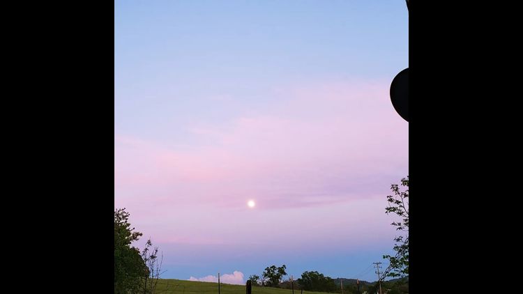
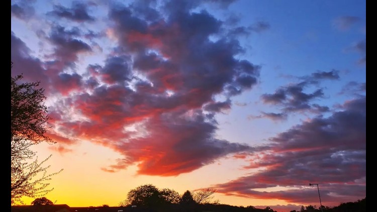
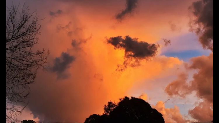
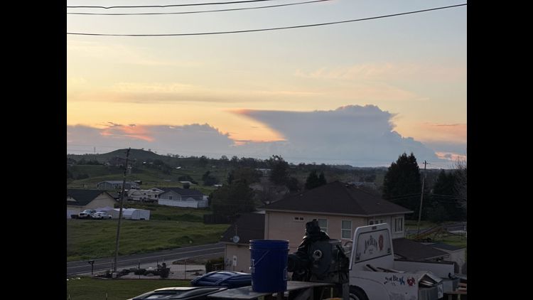
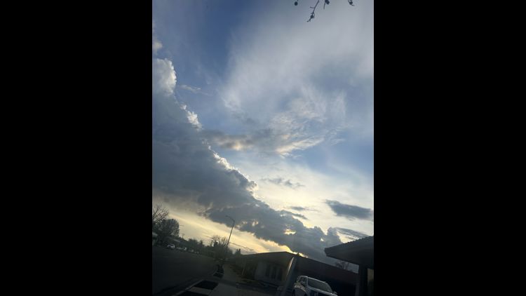
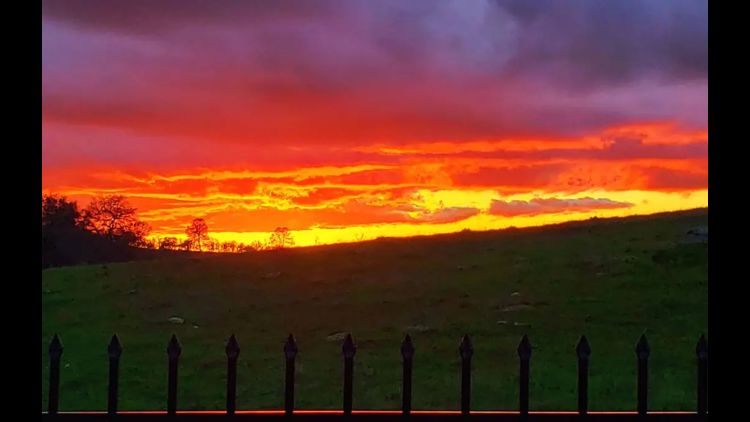
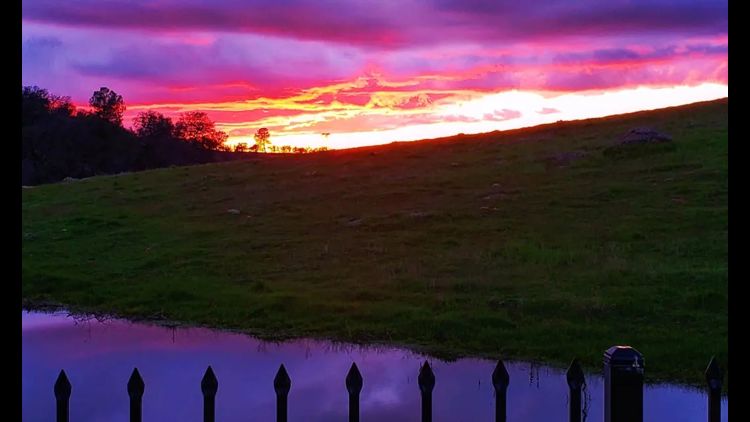
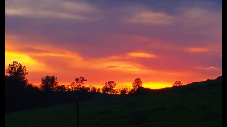
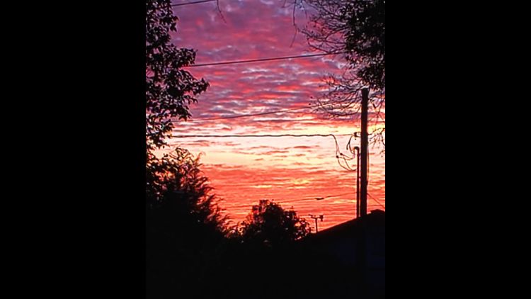
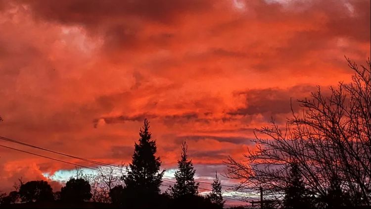
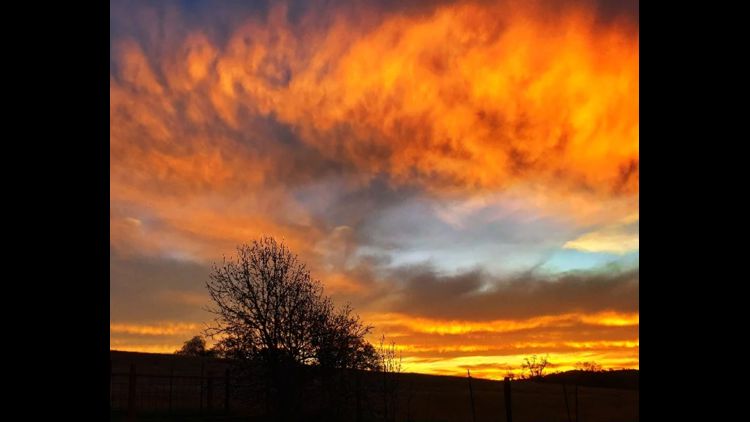
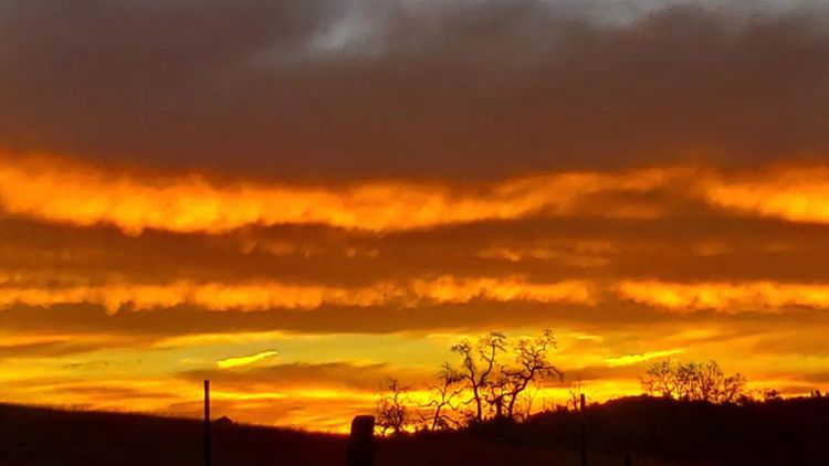
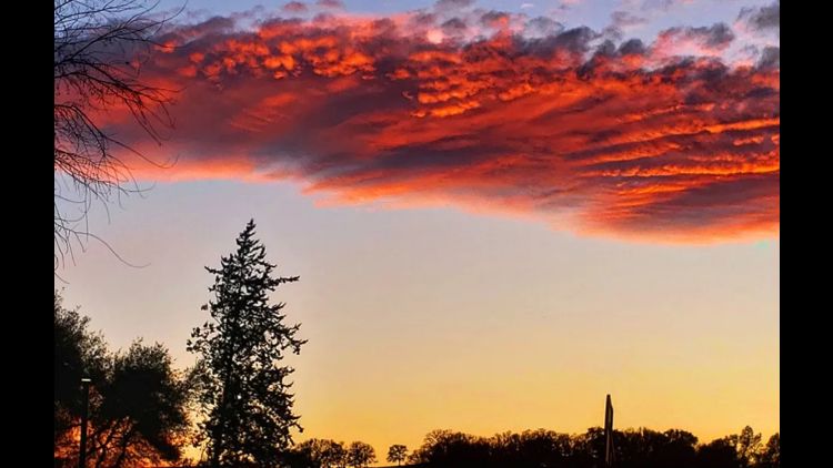
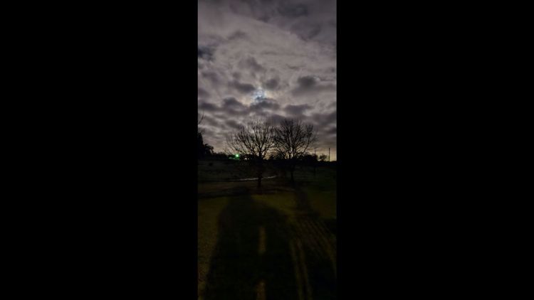
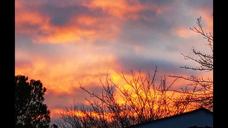
If you are out looking for the aurora overnight, it will be tougher to spot. The peak storm activity is starting to calm after hitting another strong pulse Sunday early evening.
Any chance will be in the far northern stretches of the valley. And remember, darkness is key! And so is patience. These things are exceptionally difficult to forecast the location, timing, and strength of. And in this particular event, multiple waves of solar storms are hitting Earth, which can cause the aurora intensity to fluctuate.
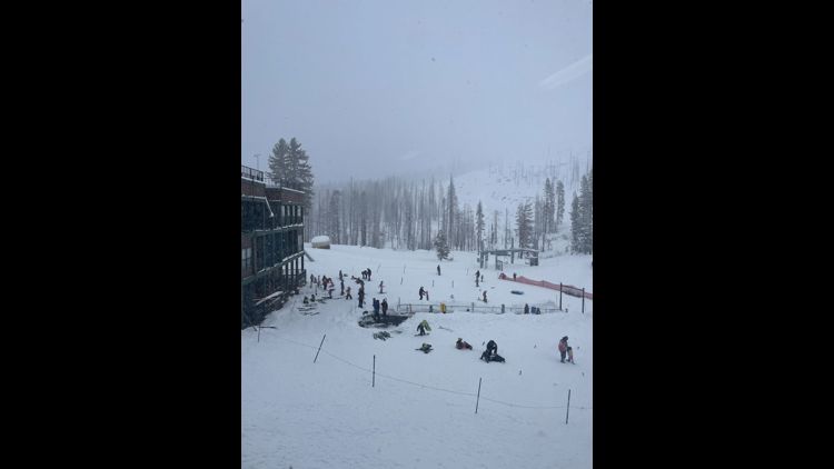
The Sierra starts the week with a chance of isolated thunderstorms before drier weather returns.
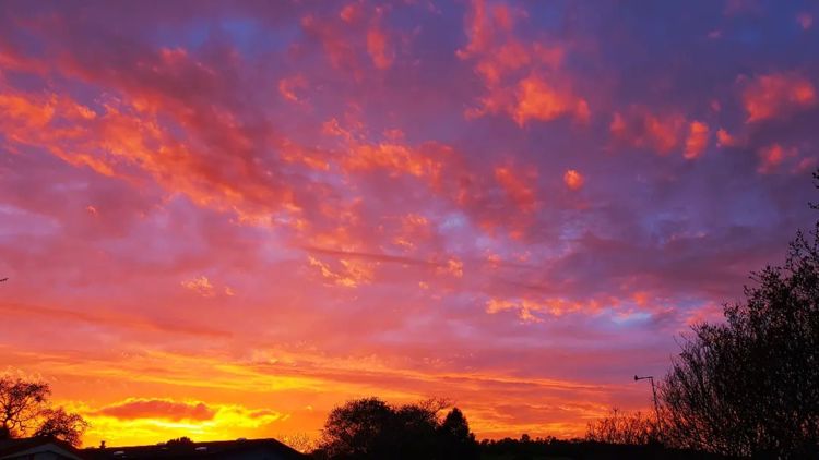
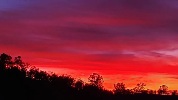
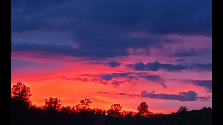
The warm afternoon conditions stick around through the week as high pressure dominates the west coast bringing clear skies and hot temperatures through at least the middle of the workweek.
A slightly cooler weather pattern develops by the end of the week and the upcoming weekend with highs dropping back towards our seasonal averages (low to mid-80s).
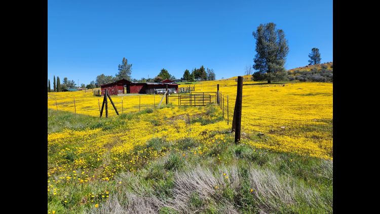
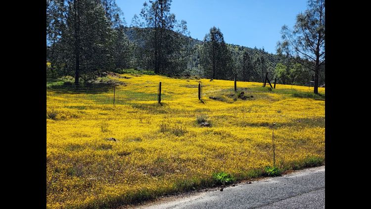
Despite the wet winter and spring, things are beginning to dry out, especially the grasses in the valley. Humidity will remain fairly low the next few days, in the 15-25% range during the afternoon. Fire danger is possible, especially grass fires. With soil moisture still abundant, fire spread is limited. But as these grasses begin drying out, the summer months will see plenty of available fuel.


MONDAY MORNING: Clear with lows in the 50s. Sierra skies will be partially clearing with lows in the 30s.
MONDAY: Sunny with highs in the upper 80s. Lake Tahoe highs near 70° with a slight chance of thunderstorms.
TUESDAY: Sunny with highs in the low 90s. Lake Tahoe highs in the low 70s.
WEDNESDAY: Sunny with highs in the low to mid-90s. Lake Tahoe highs in the low 70s.
THURSDAY: Sunny with highs in the upper 80s and low 90s. Lake Tahoe highs in the mid-70s.
FRIDAY: Cooling trend begins. Sunny with highs in the mid to upper 80s. Lake Tahoe highs in the mid-70s.
SATURDAY: Sunny with highs in the mid-80s. Lake Tahoe highs near 70°.
SUNDAY: Sunny with highs in the mid- 80s. Lake Tahoe highs in the upper 60s.
OTHER RESOURCES:
► FORECAST DETAILS | Check out our hourly forecast and radar pages.
► GET WEATHER ALERTS TO YOUR PHONE | Download the ABC10 mobile app
► WEATHER IN YOUR EMAIL | Sign up for the ABC10 Today newsletter
► GO DEEPER | Stream in-depth weather forecasts on ABC10+
► MEET THE WEATHER TEAM | Chief Meteorologist Monica Woods, Carley Gomez, Brenden Mincheff, Rob Carlmark